Instituto Geográfico Nacional. Programa Nacional de Teledetección
ESA Eduspace. Elementos de la Teledetección
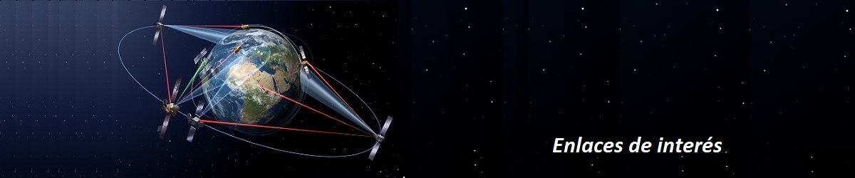
Satélites de observación terrestre:
Landsat
ERS
RESURS
Envisat
SPOT
Satélites meteorológicos:
Meteosat
Meteosat de Segunda Generación
MetOp
NOAA
Satélites Earth Explorer:
Las misiones Earth Explorer de la ESA
GOCE
SMOS
CryoSat-2
Commercial high resolution optical satellites:
IKONOS
QuickBird
WorldView
NASA Earth Observing System
NASA Earth Observatory
NASA ARSET Applied Remotes Sensing Training. Fundamentals of Satellite Remote Sensing for Heath Monitoring
Earth Observing System. Space today online. Terra
NOAA. National Ocean Service. National Oceanic and Atmospheric Administration. U.S. Department of Commerce
USGS US Geological Survey. Science for a Changing world. Land Remote Sensing Program
DLR Earth Observation Center. German Remote Sensing Data Center
CNES Centre national d'études spatiales (France). De l’Espace pour la Terre
JAXA Japan Aerospace Exploration Agency Remote sensing. Earth Observation Research Center
BARSC British Association of Remote Sensing Companies
National Remote Sensing Service. Indian Space Research Organization
MRSA Malaysian Remote Sensing Agency
Chinese Academy of Sciences. Institute of Remote Sensing and Digital Earth
AET Asociación Espańola de Teledetección
EARSC European Association of Remote Sensing Companies
RSPSoc Remote Sensing and Photogrammetry Society
ASPRS The Imaging and Geospatial Information Society
CRISP. Centre for Remote Imaging, Sensing & Processing. Principles of Remote Sensing
GIS Geography. 100 Earth Shattering Remote Sensing Applications & Uses
RSS Remote Sensing Systems
Télédétection et SIG pour l’Archéologie, Bourgogne, France. Applications de la télédétection et SIG en Archéologie
ARGANS. Remote Sensing of Earth Observation
RESTEC Remote Sensing Technology Center of Japan